
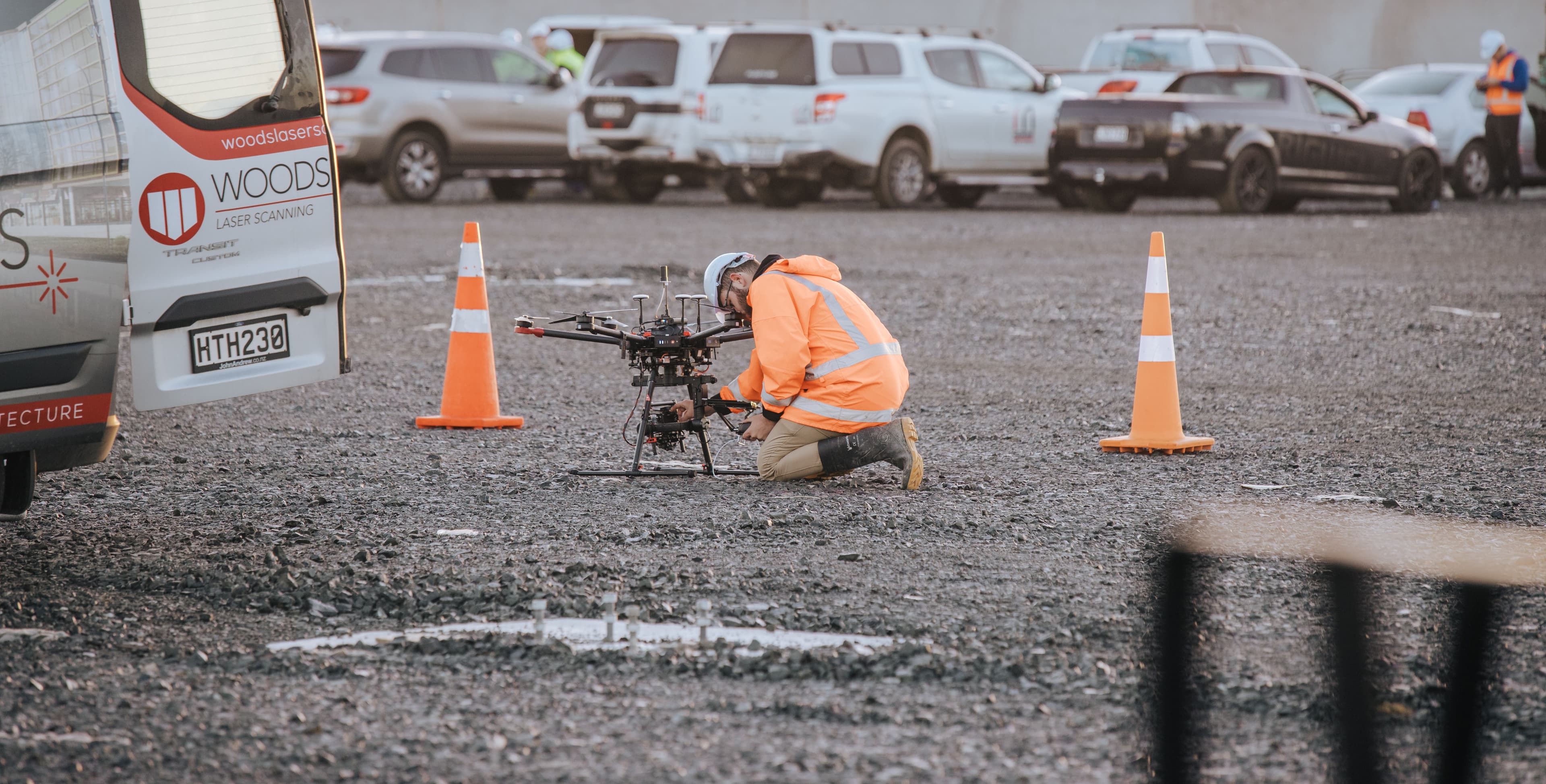
Unmanned Aerial Vehicles (UAVs) have revolutionised mapping and monitoring, enabling safe, cost-effective, and extremely detailed data collection across a wide range of environments. At Woods, UAVs form a core part of our geospatial offering, providing flexibility and efficiency for projects of all sizes.
Our Unmanned Aerial Vehicle solutions are well suited to the mapping of:
Land development and infrastructure projects
Hazardous or hard-to-access sites (e.g. landfills, quarries, rail corridors)
Built environments (e.g. schools, commercial properties, road corridors)
Natural features such as streams, waterways, and farms
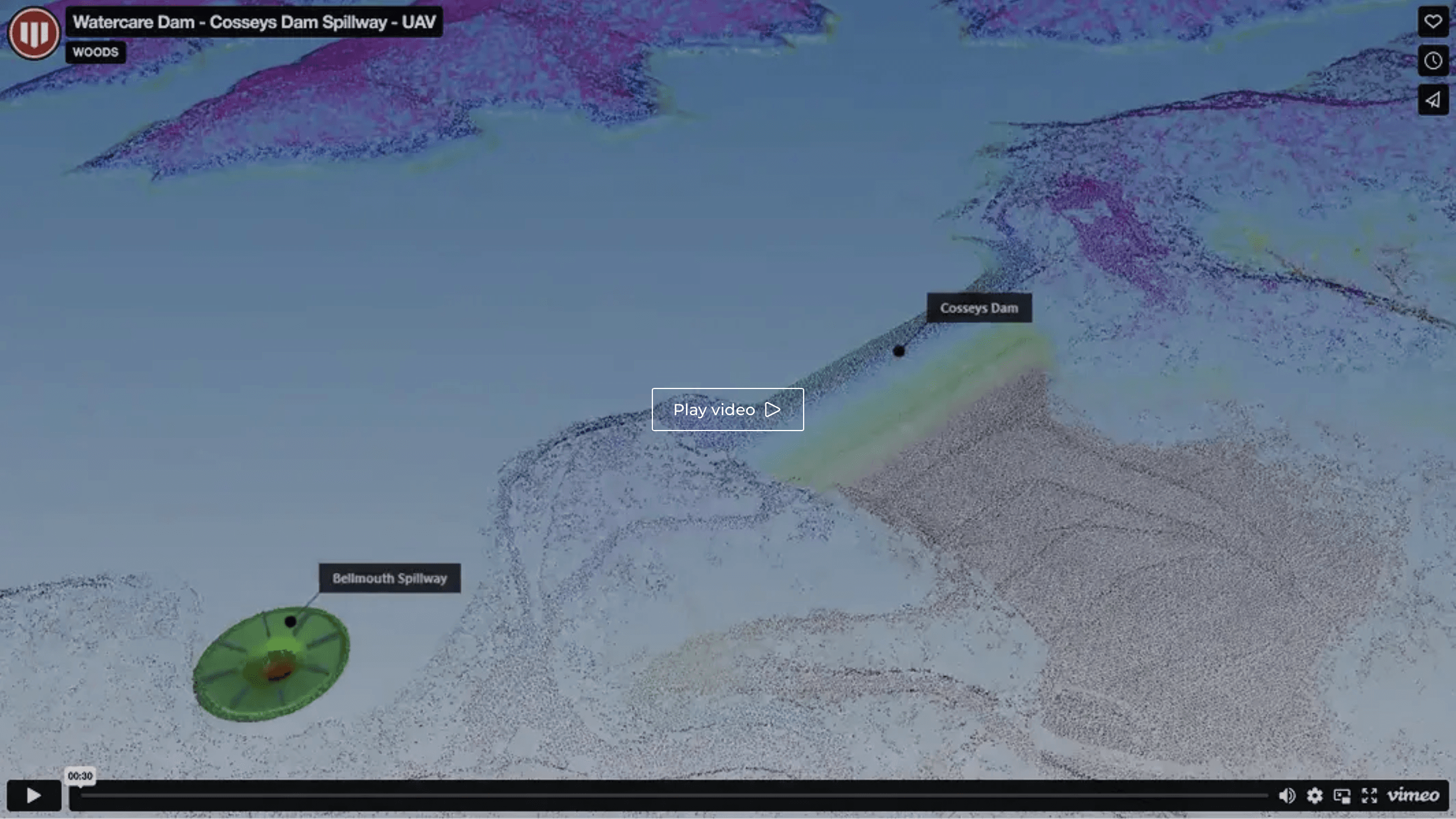
With UAV LiDAR, we produce survey-grade models at speed—even in environments that would otherwise require extensive manual work.
Penetrate vegetation for detailed bare earth surface models
Achieve high-density point clouds with minimal onsite presence
Improve safety by eliminating the need to place personnel in hazardous areas
Photogrammetry is ideal for urban areas and vegetated terrain where visual detail is critical. Using high-resolution cameras and photogrammetry techniques, we capture:
Geo-referenced, orthorectified imagery
3D Digital Terrain Models (DTMs)
Visual records for design, monitoring or compliance
Geospatial clients choose Woods UAV mapping for its exceptional precision—achieving 1–2 mm accuracy with minimal disruption to site operations. The technology significantly reduces health and safety risks by eliminating the need for personnel in hazardous environments, while enabling faster delivery of data and models to keep projects moving.
Our UAV systems can be configured with a range of sensors and workflows to suit the unique requirements of each site. Whether deployed as a standalone solution or integrated into a broader geospatial strategy, UAV mapping with Woods delivers faster, smarter insights.
-1ehqzcihz3.jpg&w=3840&q=75)