Tauranga, Bay of Plenty
Woods was engaged to locate and map underground services along 4km of busy arterial road in Tauranga.
Woods supported GHD and Tauranga City Council as part of Stage Two of the Cameron Road Upgrade — a major infrastructure initiative improving transport, safety, and urban amenity across one of the Bay of Plenty's busiest arterial corridors.
Woods was engaged to lead the underground utility detection and modelling along a 4km stretch of Cameron Road. This included boundary-to-boundary investigation — berms, footpaths, and the carriageway.
Cameron Road is a key arterial route, serving critical amenities such as Tauranga Hospital, schools, a substation, and key retail zones.
Given the scale and constraints of the site, the project demanded precise coordination and innovative thinking. To minimise disruption and reduce cost, Woods designed a hybrid methodology combining:
Night-time carriageway capture using a mobile 3D Ground Penetrating Radar (GPR) system, towed at low speed behind attenuator trucks. This allowed 85% carriageway coverage in just five nights, drastically reducing road closure requirements and traffic management costs.
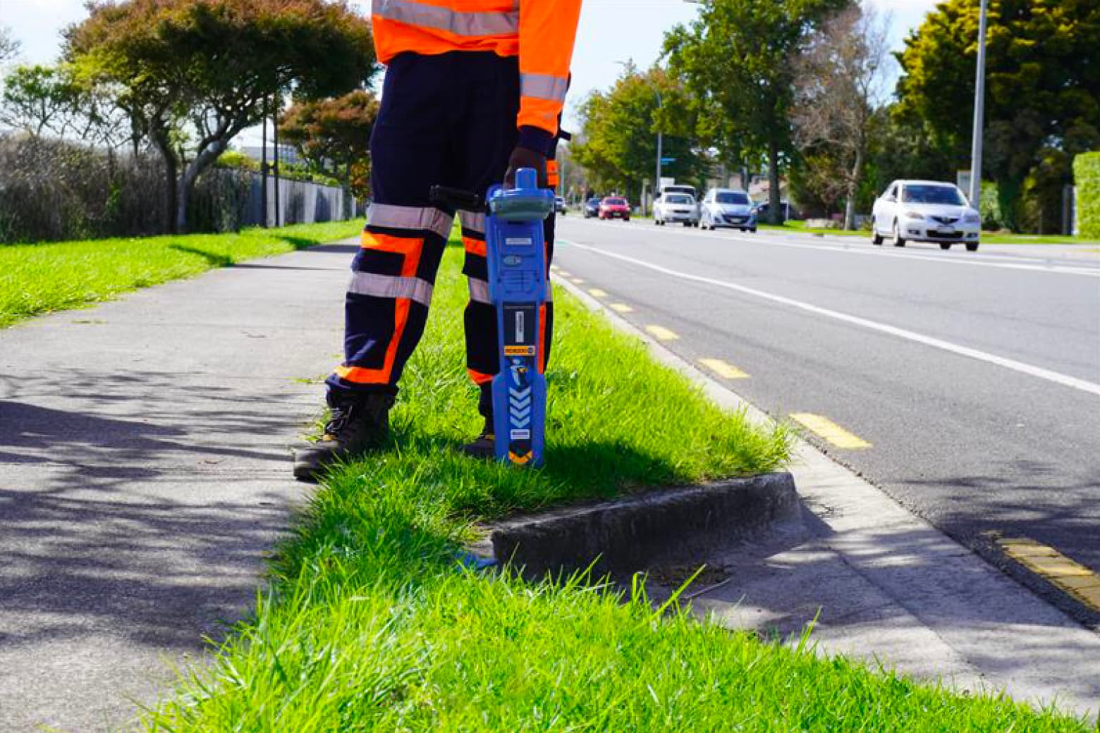
Daytime detection on berms and footpaths using Electro-Magnetic Induction (EMI) and handheld 3D GPR units for targeted service location around known congestion points.
Data was recorded using cutting edge field capture software and transmitted in real time to Woods’ office-based team. From there, automated workflows within WoodsMap ingested the field data and generated 12D-ready model content with minimal manual input — reducing turnaround time and enabling staged model delivery to maintain project momentum.
The Woods geospatial and surveying teams — working across both Auckland and Christchurch offices — successfully delivered a high-quality underground service model that met all project requirements under tight timeframes. Key outcomes included:
A comprehensive subsurface utility model aligned with previous Mobile Laser Scanning (MLS) and topographic datasets
Clear and accurate data to support design, coordination, and risk reduction
Strong proof of concept for hybrid GPR methodology at scale
The project has sparked increased demand for Woods' underground service location expertise, with several new proposals underway. With ongoing development in AI-assisted GPR processing, Woods is well positioned to deliver even faster, smarter underground models in the future.

