2023 - ongoing
Christchurch, Canterbury

Using high-precision Mobile Laser Scanning, Woods supported the CNC Alliance in monitoring post-construction pavement settlement across more than 20km of motorway – safely, efficiently, and in unprecedented detail.
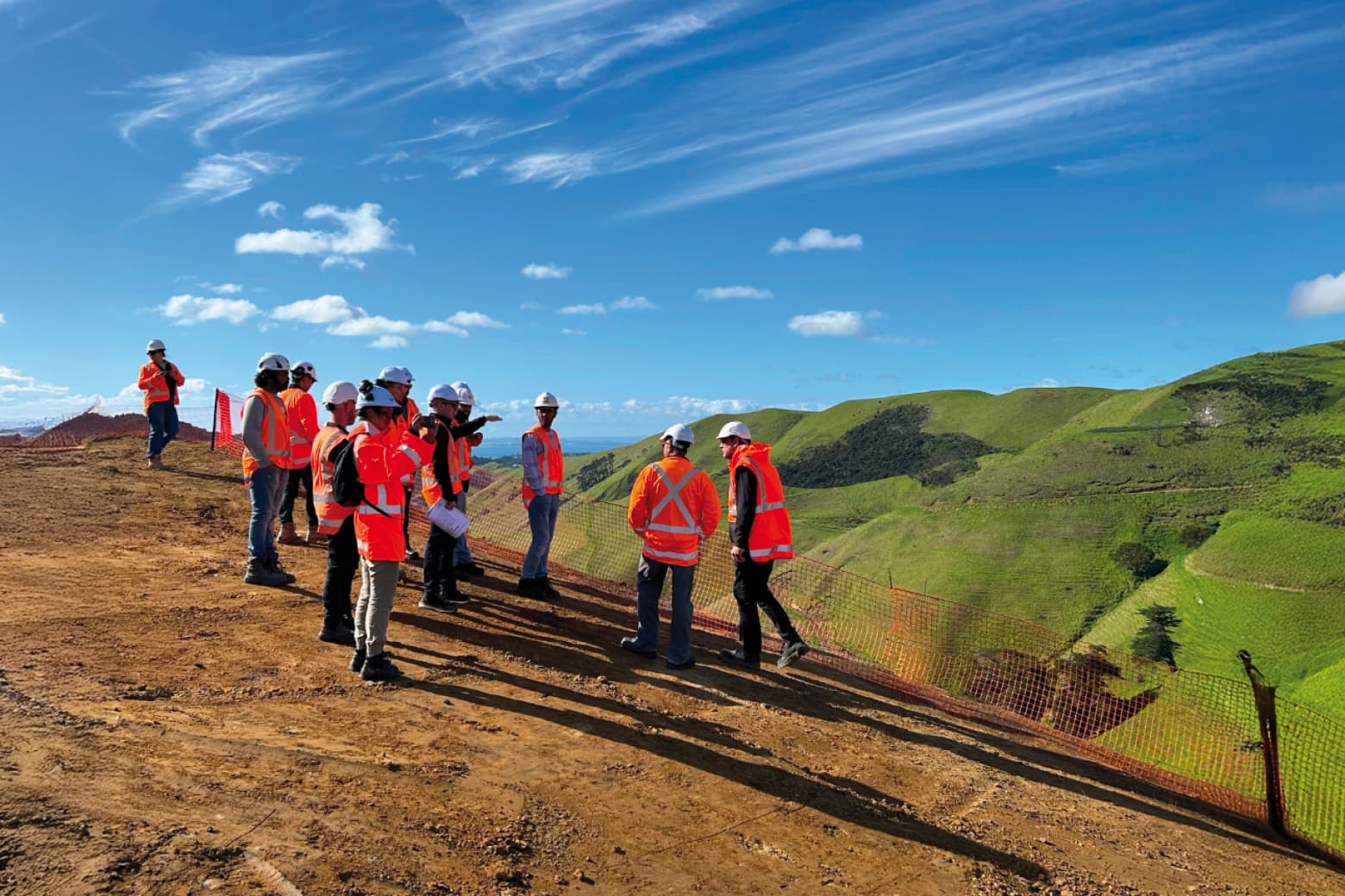
The Christchurch Northern Corridor (CNC) is one of the largest recent roading projects in the South Island, involving over 20km of motorway construction and realignment.
Post-construction, Woods was engaged by the CNC Alliance to monitor settlement across the motorway corridor using high-resolution Mobile Laser Scanning (MLS). This innovative method provided full pavement coverage, improved safety, and reduced costs—while delivering the precision needed to detect subtle settlement trends.
Woods led the survey and monitoring component of the post-construction assessment programme, applying survey-grade Mobile Laser Scanning technology across the CNC alignment. A Riegl VMQ-1HA laser system was mounted to a vehicle and driven along the corridor, collecting up to one million LiDAR points per second at full road speed.
Over the two-year monitoring period, Woods completed multiple repeat scans (up to 20 per survey event), processed the results using custom workflows, and provided highly detailed reports to assess differential settlement and road performance. The data was validated against benchmarked settlement points and delivered with confidence intervals better than ±7 mm.
The Christchurch Northern Corridor project posed several geotechnical and logistical challenges, starting with the fact that the motorway alignment crossed deep layers of soft silt and peat. Settlements of up to 1.7 metres were observed during construction, especially beneath high embankments, requiring close post-construction monitoring to ensure long-term pavement performance.
The complexity of the infrastructure added further difficulty, with numerous bridges, culverts, and stream realignments requiring detailed assessment of differential settlement. Traditional monitoring methods – such as conventional levelling across 20 km of motorway – would have been time-consuming, costly, and posed significant safety risks to field staff.
Accuracy expectations were high. Typical mapping-grade mobile scanning systems would not have met the project’s precision requirements, so Woods adapted both its scanning methodology and post-processing workflows.
Environmental factors also added complexity: for example, the decorative metal cladding on Radcliffe Road Bridge interfered with GNSS signals, necessitating adjustments to scanning schedules and techniques to minimise trajectory errors.
Despite these challenges, Woods was able to consistently deliver the precision needed to detect subtle pavement shape changes and settlement progression, without compromising on safety or efficiency.
Woods successfully delivered a full-corridor, high-resolution pavement settlement model, verified against conventional survey methods and suitable for ongoing asset management.
Key results included:
±2.8 mm precision (1σ) across 3,414 monitoring points
Detection of subtle grade changes at stream realignments (as low as 0.05% longitudinal slope change)
Visualisation of differential movement at embankment-bridge transitions—particularly at Radcliffe Road, where ground improvements reduced settlement successfully
By combining repeat scans, benchmark control, and expert analysis, Woods demonstrated that Mobile Laser Scanning is a safe, cost-effective, and high-precision solution for large-scale post-construction pavement monitoring.