Auckland
Woods partnered with Discovery Marine Ltd (DML) to support accurate reservoir capacity modelling for local councils.
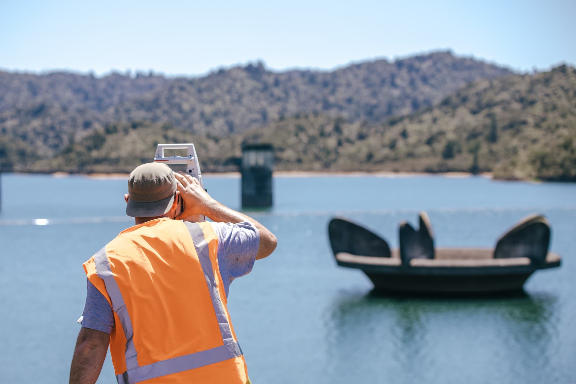
Woods was engaged by DML to provide a range of advanced surveying services for multiple reservoir sites across New Zealand. The work focused on capturing above-water topography and hard-to-reach features such as bell mouths, dam faces, intakes, and exposed embankments affected by fluctuating water levels.
Our team deployed a combination of UAV (drone-based), terrestrial LiDAR, aerial LiDAR, and conventional surveying methods. This hybrid approach ensured seamless integration of land-based data with the sub-surface hydrographic data collected by DML, providing a complete picture of reservoir capacity and conditions.
Reservoir environments present unique access and visibility challenges — particularly in areas where conventional hydrographic equipment cannot reach due to shallow water, steep banks, or partially submerged infrastructure. Capturing high-resolution, accurate data in these transitional zones was critical to the success of the modelling.
Additionally, coordination between survey disciplines was essential to ensure the datasets aligned both spatially and in format — enabling DML to deliver a cohesive and accurate output to their end clients, including regional councils and Watercare.
Woods’ flexible and collaborative approach allowed DML to focus on their core hydrographic work while relying on our team to capture the complex land-based detail above the waterline. The quality and integration of Woods’ data played a key role in the success of the project, with Watercare later interviewing our team to understand our technical input and the value it added.
