-ihry6p0x56k.jpg&w=3840&q=75)
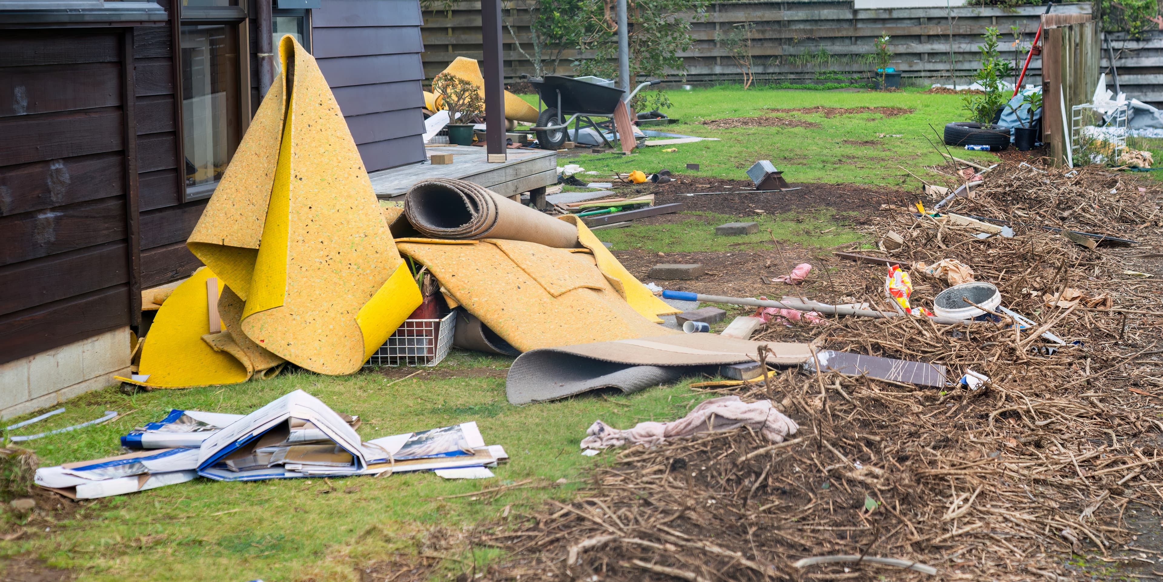
Woods provides flood modelling and risk assessment services to support resilient infrastructure and informed planning. Our team applies advanced hydrological and hydraulic modelling tools to simulate flood behaviour under a range of scenarios, from storm events to extreme climate projections.
We assess flood extents, depths, velocities, and hazard classifications, and apply GIS-based spatial analysis to map and communicate risk.
Our team works closely with councils, government agencies, and infrastructure providers. These outputs are used to inform land use planning, infrastructure design, climate adaptation strategies, and emergency management.
01
Catchment assessments
Hydrology
Rainfall / storm rainfall analysis
Rainfall – runoff modelling
Stream assessments
Flood flow estimation and flood and drought frequency analysis.
02
Catchment management
Flood management plans
1 and 2-D modelling and Sediment transport modelling
Flood recovery
Sustainable urban water design
River and floodplain hydraulics
River management plans
Flood alleviation measures analysis
Dam break analysis.