Transport Mapping

Smart geospatial solutions for roads, rail, and runways

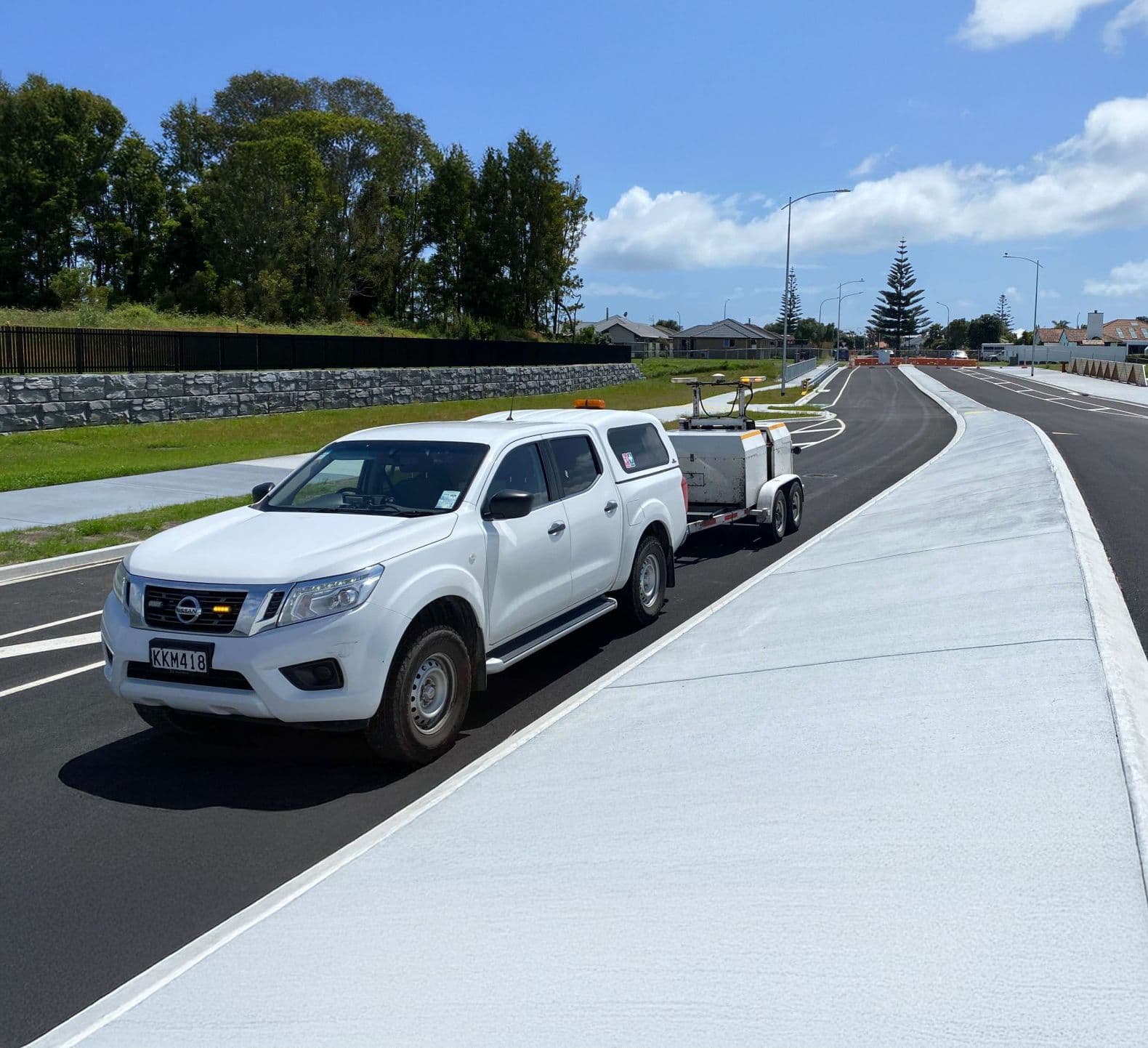
Woods delivers survey-grade geospatial data at scale to support the design, construction, and maintenance of transport networks across New Zealand.

Whether you're planning upgrades or managing existing infrastructure, we offer fast, safe, and cost-effective data capture – optimising your investment and reducing risk across the entire asset lifecycle.

Our transport geospatial services include:

  • Corridor-wide mapping to support feasibility, design, and asset management

  • Digital twin development and topographic base plans

  • Urban streetscape and road renewal support

  • Asset inventories, clearances, and deformation analysis

  • Integration with GIS and BIM environments

Mobile Laser Scanning

Mobile Laser Scanning (MLS)

Woods is one of the few companies in New Zealand offering true Mobile Laser Scanning (MLS) capability, using cutting-edge LiDAR sensors and 360° panoramic imaging to map complex transport environments with speed, scale, and precision.
Pavement Testing Vehicle

Pavement Testing

Pavement testing is essential for planning, prioritising, and managing road maintenance – whether it’s for arterials, rural roads, runways, or ports. Woods offers both condition and structural testing services to give clients a clear picture of pavement performance and durability.

Have a transport mapping expert contact you to discuss your needs

Message
This site is protected by reCAPTCHA and the GooglePrivacy Policy andTerms of Service apply.